


Universitetsavisen
Nørregade 10
1165 København K
Tlf: 35 32 28 98 (mon-thurs)
E-mail: uni-avis@adm.ku.dk
—
Science
Space journey — One rock out of place could be fatal for a lunar lander. In 2029, the UCPH-led satellite Máni will map out safe landing sites.
The Moon has been the ultimate goal of space exploration for decades. First as a dream, later as a technological achievement.
But one issue, above all, continues to cause problems: Where can you land without courting disaster?
This sets the stage for Denmark’s first lunar mission.
In 2029, the Danish-led satellite Máni — named after the Old Norse word for our celestial companion — is scheduled to orbit the Moon and map out safe landing sites. The mission is led from the University of Copenhagen (UCPH) by Associate Professor Jens Frydenvang and is the result of a collaboration between Danish and international universities, as well as private corporations via the European Space Agency, ESA.
This marks the real beginning of our mission to the Moon
Jens Frydenvang, associate professor at UCPH and leader of the Máni mission
The Danish government has earmarked DKK 125–130 million for the project, with the total budget of around EUR 50 million being co-financed with other European countries.
The mission got the green light on 16 December from ESA to proceed to the next phase of development.
»It was a huge relief when we got the news,« says Jens Frydenvang.
He stresses, in the same breath, that approval is not the same as a guarantee that Máni will eventually be launched: The project must go through a series of technical reviews, and uncertainties still remain that could cause delays. In the worst case, the mission could be altered or cancelled altogether.
But with ESA’s approval, the mission is no longer competing with other proposals, and the work now continues in the phase where the satellite will gradually be further developed ahead of construction and testing.
»This marks the real beginning of our mission to the Moon,« says Jens Frydenvang.
When a lunar landing fails, it’s often due to something trivial. A US lander toppled over earlier this year, and ended up on its side. This meant the solar panels didn’t get light, and when the batteries ran out, the mission was effectively over.
These are the kinds of risks that Máni is intended to help reduce by providing a better picture of the terrain and the uncertainties in selected areas.
But according to Jens Frydenvang, finding safe landing sites on the Moon is not just about mapping the terrain — it’s also about understanding the limitations of current data. There are detailed images of large parts of the lunar surface nowadays, but they don’t necessarily provide enough insight into how risky it is to land in a specific spot.
We’ve been careful not to overload the mission with too many instruments. The more complex it gets, the greater the risk of something going wrong.
»What matters is not just whether an area looks flat, but how confident we are in that assessment. That’s the crucial information that’s absent, but necessary, if we want to land safely,« he says when the University Post meets him in his office at UCPH.
The Máni mission will therefore combine measurements of topography with statistical risk estimates. The aim is to provide space agencies and mission planners with a more solid foundation for selecting landing sites — for both crewed and uncrewed missions.
At the heart of the mission is a method developed by the research community around the Niels Bohr Institute at UCPH. By combining images of the same area taken from different angles and under different lighting conditions, it’s possible to reconstruct the topography while also gaining insight into the properties of the surface.
The mission has deliberately been kept simple. The telescope is the satellite’s only primary scientific instrument, and according to the head of the project, they have deliberately kept the ambitions modest.
»We’ve been careful not to overload the mission with too many instruments. The more complex it gets, the greater the risk of something going wrong — and the less time we might have to actually map as much of the Moon’s surface as possible with our main instrument,« says Jens Frydenvang.
The satellite is scheduled to orbit the Moon for three years and will scan the Moon in its entirety during that time. But the mission’s main purpose is to map out potential landing sites for US space agency NASA’s upcoming crewed Artemis missions and ESA’s uncrewed lunar landers, which will deliver equipment near the Moon’s south pole.
The southern focus is due to both technical and resource-related reasons. Most places on the Moon alternate between long periods of light and darkness, but at the poles, it is possible to find elevations with near-constant sunlight because the sun hovers low over the horizon.
At the same time, there are craters near the poles that never have sunlight. These permanently shadowed regions are ideal places to search for ice, which could one day be used as a resource — to support longer stays and produce fuel.
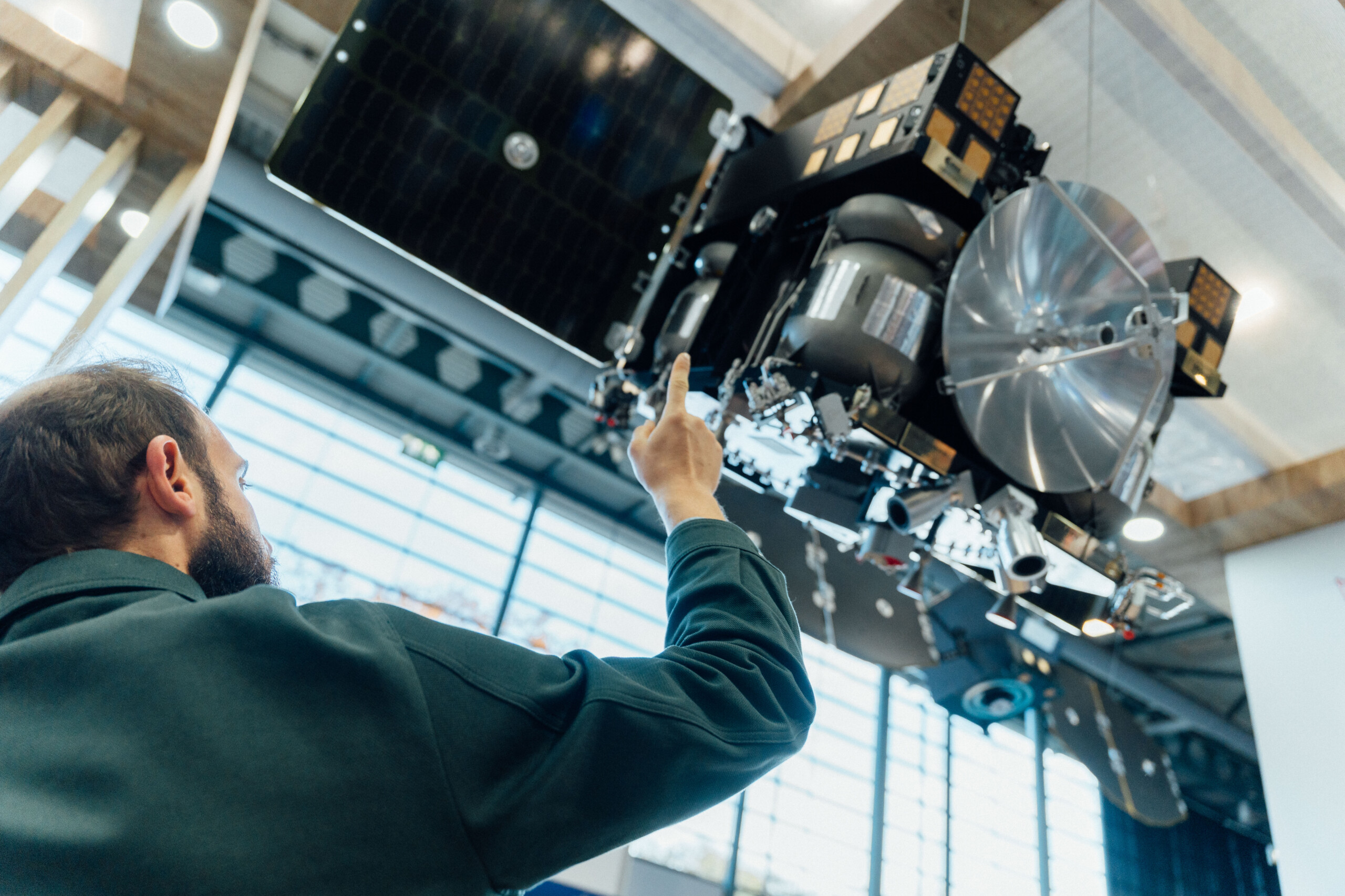
While UCPH is responsible for the scientific part of the mission and main leadership, the Danish satellite manufacturer Space Inventor is building the satellite itself. According to Chief Technology Officer Peter Davidsen, this is the largest satellite the company — and Denmark — has built to date.
Although the satellite is being assembled in Denmark, Máni is not a national project. According to Peter Davidsen, several subsystems are being supplied by European partners via the ESA collaboration.
You need to be absolutely sure what you want the satellite to do — long before it does it
Peter Davidsen, CTO at Space Inventor
The satellite is roughly 80 by 80 by 80 centimetres and weighs around 210 kilos. It is significantly larger and more complex than the small satellites that Space Inventor usually specialises in.
»It’s a different kind of task than what we’re used to. The requirements for robustness and operations are much higher when you’re operating in lunar orbit,« says Peter Davidsen.
One of the biggest challenges is navigation. Unlike satellites orbiting the Earth, Máni cannot use GPS, and all orbital positioning must rely on more indirect methods.
»You get much less feedback, and there’s no way to quickly correct things if something doesn’t go according to plan,« says the CTO.
Communication between the satellite and Earth is also limited. The satellite cannot conduct observations and transmit data back at the same time, which means operations require extensive planning.
»Many commands are queued up weeks in advance. This means you have to be absolutely sure what you want the satellite to do — long before it does it,« says Peter Davidsen.
The journey to the Moon and the subsequent manoeuvres in lunar orbit involve several critical phases where there is no margin for error.
»This isn’t routine. A lot of things need to work correctly over a long period of time with no option to intervene,« he says.
For the University of Copenhagen, the Máni mission marks the first time the university takes on the role of mission leader in an international space project. That comes with responsibilities that go beyond just the scientific.
»Leading a mission isn’t just about research. It’s also about coordination, setting priorities, and getting multiple stakeholders to work in the same direction,« says Jens Frydenvang.
This article was first written in Danish and published on 17 December. It has been translated into English and post-edited by Mike Young.